Top 15
Best camping lakes in Georgia
Lake Hartwell, Lake Lanier and Allatoona Lake lead our list of the best lakes for camping in Georgia. It ranks all 15 that qualify by the campgrounds and RV parks on their shore and how many campsites they have, with trails, beaches and boat ramps close by. Every lake links to its camping page, with each campground on the map and a booking link where there is one.
-
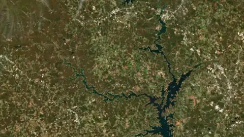
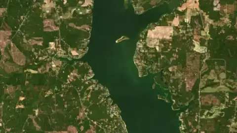
Lake Hartwell
On the South Carolina line 12.8 ft below full today
- 43 campgrounds
- 412+ campsites
- 13 trails
- 8 beaches
- 92 boat ramps
S. Army Corps of Engineers reservoir on the upper Savannah River, with the South Carolina and Georgia state line running down its length.
-
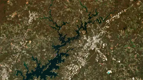
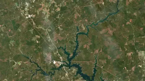
Lake Lanier
Forsyth County 9.0 ft below full today
- 22 campgrounds
- 443+ campsites
- 5 trails
- 7 beaches
- 85 boat ramps
Lake Lanier is the reservoir behind Buford Dam on the Chattahoochee River in north Georgia, spread across Hall, Forsyth, Dawson, Gwinnett and Lumpkin counties. It is a major source of drinking water for metro Atlanta, and its parks, marinas and beaches draw millions of visits a year.
-
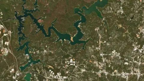
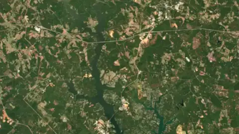
Allatoona Lake
Bartow County 9.6 ft below full today
- 30 campgrounds
- 225+ campsites
- 14 trails
- 16 beaches
- 36 boat ramps
Allatoona Lake is an Army Corps of Engineers reservoir on the Etowah River in northwest Georgia, about 30 miles from Atlanta. Most of it lies in Bartow and Cherokee counties, with a small piece in Cobb County near Acworth, and Cartersville is the closest city to the dam.
-
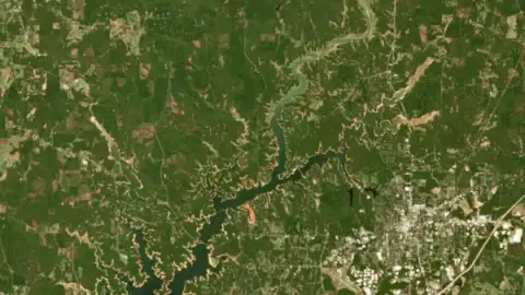
West Point Lake
Troup County 12.5 ft below full today
- 27 campgrounds
- 399+ campsites
- 3 trails
- 1 beach
- 34 boat ramps
-
Walter F. George Lake
Clay County 3.5 ft below full today
- 17 campgrounds
- 305+ campsites
- 2 trails
- 2 beaches
- 19 boat ramps
Walter F. George Lake is an Army Corps of Engineers reservoir on the Chattahoochee River, stretching about 85 river miles along the Alabama-Georgia line from the dam at Fort Gaines up toward Columbus.
-
Lake Sinclair
Baldwin County 1.9 ft below full today
- 9 campgrounds
- 2 trails
- 3 beaches
- 23 boat ramps
S. 441. It spreads across Baldwin, Hancock and Putnam counties, and most of it lies in Putnam. Anglers know it for largemouth bass, crappie, catfish and stripers, and for fishing that turns on when the water starts moving at Wallace Dam upstream.
-
Lake Oconee
Putnam County 1.6 ft below full today
- 8 campgrounds
- 6 trails
- 16 boat ramps
Lake Oconee is a Georgia Power reservoir on the Oconee and Apalachee rivers in central Georgia, spread across Greene, Morgan and Putnam counties near Greensboro, Madison and Eatonton. It filled in 1979 behind Wallace Dam.
-
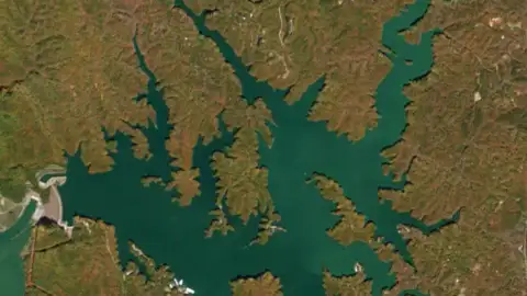
Carters Lake
Murray County 4.0 ft below full today
- 9 campgrounds
- 122+ campsites
- 3 trails
- 7 boat ramps
Carters Lake is an Army Corps of Engineers reservoir on the Coosawattee River at the southern edge of the Blue Ridge Mountains, in Gilmer and Murray counties between Ellijay and Chatsworth in northwest Georgia.
-
Lake Blue Ridge
Fannin County 18.3 ft below full today
- 2 campgrounds
- 44+ campsites
- 3 trails
- 2 beaches
- 4 boat ramps
-
Jackson Lake
Butts County 1.8 ft below full today
- 3 campgrounds
- 3 beaches
- 3 boat ramps
Jackson Lake is a Georgia Power reservoir about 44 miles southeast of Atlanta, formed where the South, Yellow and Alcovy rivers meet, and it drains into the Ocmulgee River.
-
Lake Burton
Rabun County 2.0 ft below full today
- 4 campgrounds
- 3 boat ramps
Lake Burton is a Georgia Power reservoir on the Tallulah River in Rabun County, in the mountains of northeast Georgia between Clayton and Hiawassee.
How this list is made
Lakes are ranked by the number of campgrounds and RV parks on or near their shore (OpenStreetMap, Overture and Recreation.gov), the campsites they add up to where the campground says how many, the trails, beaches and boat ramps beside them, and how much people look the lake up. A lake needs at least two campgrounds to be listed. Nothing here is paid for.
The order comes from our data, not from anyone's opinion or payment, and it changes as the data does. A lake we have little data for can rank lower than it deserves: tell us through the contact form if something is missing.
What is the best lake for camping in Georgia?
By what our data shows, Lake Hartwell comes first, with 43 campgrounds and more than 412 campsites on its shore. Lake Lanier and Allatoona Lake follow.
Do I need to book a campsite ahead?
On summer weekends and holidays, yes: lakeside campgrounds at federal lakes (Army Corps of Engineers, Forest Service, National Park Service) open for booking on Recreation.gov up to six months ahead and the waterfront sites go first. State parks have their own booking systems. Midweek and outside summer, many campgrounds have room the same day.
Does the lake level matter for camping?
It can. When a reservoir is drawn down, the water may be a long walk from a "waterfront" site, swim beaches can be closed and some boat ramps stop reaching the water. Each lake page shows today's level against full pool and which ramps are usable.
How is this list made?
Lakes are ranked by the number of campgrounds and RV parks on or near their shore (OpenStreetMap, Overture and Recreation.gov), the campsites they add up to where the campground says how many, the trails, beaches and boat ramps beside them, and how much people look the lake up. A lake needs at least two campgrounds to be listed. Nothing here is paid for.
Best camping lakes in other states
- United States
- Alabama
- Arizona
- Arkansas
- California
- Colorado
- Florida
- Idaho
- Illinois
- Indiana
- Iowa
- Kansas
- Kentucky
- Louisiana
- Michigan
- Minnesota
- Mississippi
- Missouri
- Montana
- Nebraska
- New Hampshire
- New Mexico
- New York
- North Carolina
- North Dakota
- Ohio
- Oklahoma
- Oregon
- Pennsylvania
- South Carolina
- South Dakota
- Tennessee
- Texas
- Utah
- Virginia
- Washington
- West Virginia
- Wisconsin