Updated every hour · last check 21 min ago
Know your lake before you go
Today’s water level, the weather on the water, boat ramps, campgrounds, beaches and the fish that bite — for 1,042 lakes and reservoirs in 48 states, from the agencies that run them.
Your lakes
Edit your list →Most-searched lakes
All 1,054 lakes →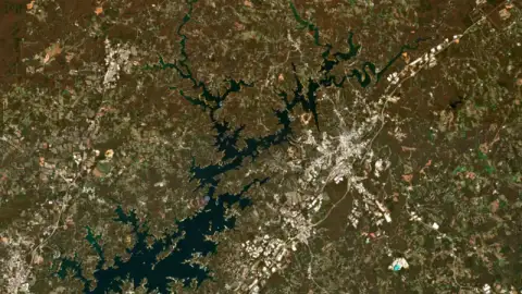
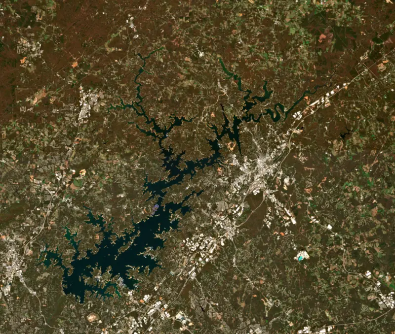
Lake Lanier
Georgia
1062.08 ft
−8.92 ft vs full · −0.31 ft this week
Below full- 85 boat ramps
- 24 marinas
- 22 campgrounds
- 7 beaches and swim areas
Spotted bass, crappie
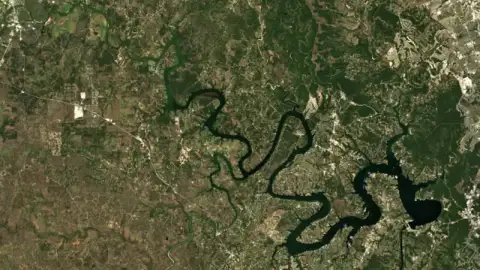
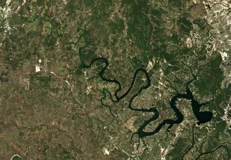
Lake Travis
Texas
681.67 ft
+0.67 ft vs full · +3.72 ft this week
At or near full pool- 23 boat ramps
- 33 marinas
- 28 campgrounds
- 4 beaches and swim areas
Striped bass, largemouth bass
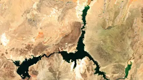
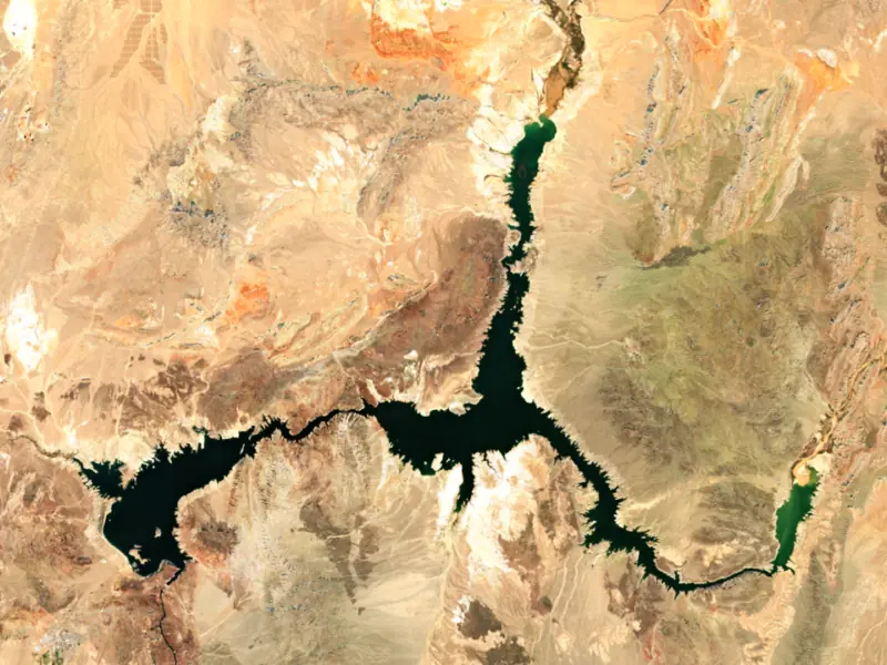
Lake Mead
Nevada
1041.16 ft
−187.84 ft vs full · +1.30 ft this week
Well below full- 7 boat ramps
- 7 marinas
- 5 campgrounds
- 6 beaches and swim areas
Catfish, largemouth bass
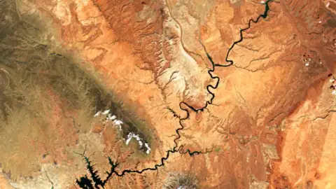
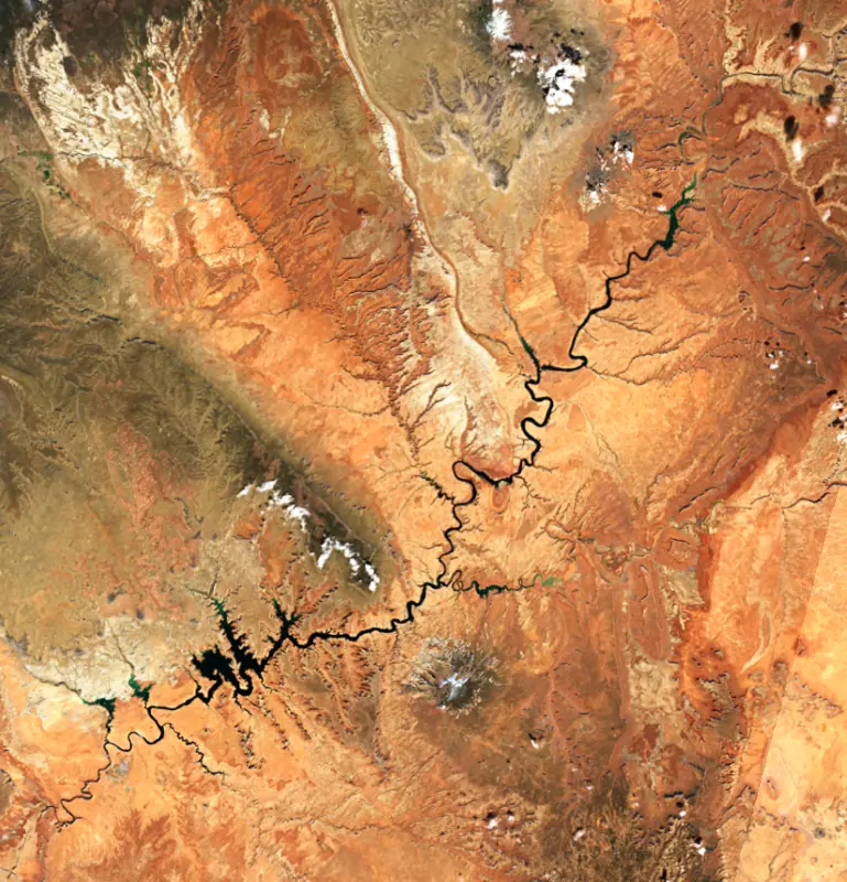
Lake Powell
Utah
3540.00 ft
−160.00 ft vs full · +0.90 ft this week
Well below full- 20 boat ramps
- 10 marinas
- 14 campgrounds
- 3 beaches and swim areas
Largemouth bass, crappie
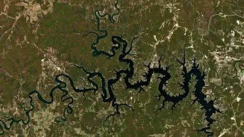
Table Rock Lake
Missouri
909.55 ft
−5.45 ft vs full · −0.53 ft this week
Slightly below full- 18 boat ramps
- 17 marinas
- 65 campgrounds
- 7 beaches and swim areas
Smallmouth bass, spotted bass
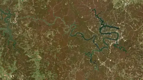
Lake of the Ozarks
Missouri
657.40 ft
−2.60 ft vs full
Slightly below full- 150+ boat ramps
- 68 marinas
- 65 campgrounds
- 14 beaches and swim areas
Largemouth bass, catfish
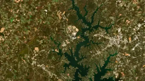
Lake Norman
North Carolina
96.56 ft*
−3.44 ft vs full
Slightly below full- 18 boat ramps
- 35 marinas
- 8 campgrounds
- 5 beaches and swim areas
Bluegill, striped bass
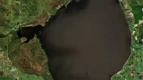
Lake Okeechobee
Florida
14.70 ft
+0.25 ft this week
Live reading- 18 boat ramps
- 2 marinas
- 52 campgrounds
- 2 trails
Redear sunfish, bluegill
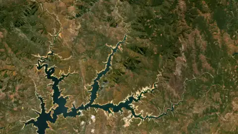
Shasta Lake
California
971.25 ft
−95.75 ft vs full · −0.01 ft this week
Below full- 17 boat ramps
- 8 marinas
- 37 campgrounds
- 8 trails
Rainbow trout, Chinook salmon
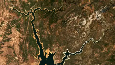
Lake Oroville
California
731.66 ft
−168.34 ft vs full · −0.83 ft this week
Below full- 14 boat ramps
- 2 marinas
- 3 campgrounds
Smallmouth bass, spotted bass
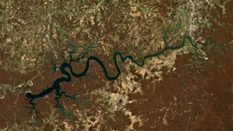
Lake Cumberland
Kentucky
688.97 ft
−34.03 ft vs full · −1.24 ft this week
Well below full- 31 boat ramps
- 19 marinas
- 44 campgrounds
- 2 trails
Striped bass, rainbow trout
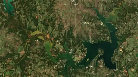
Lake Texoma
Texas
617.40 ft
+0.40 ft vs full · +0.04 ft this week
At or near full pool- 59 boat ramps
- 31 marinas
- 66 campgrounds
- 13 beaches and swim areas
Largemouth bass, bluegill
* Local gauge datum: 100 ft = full pond (Duke Energy lakes). The rest are feet above sea level.
Plan a day on the water
-
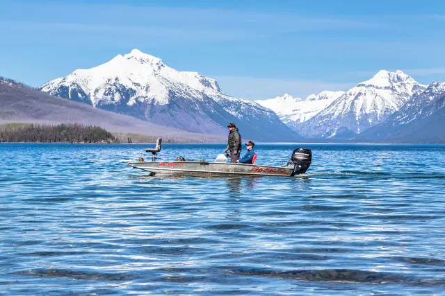
Boating
8,600+ boat ramps and marinas on 862 lakes
-
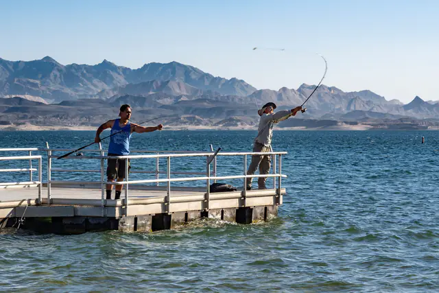
Fishing
820 lakes with game fish on record
-
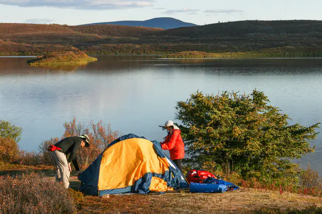
Camping
4,900+ campgrounds and RV parks on 717 lakes
-
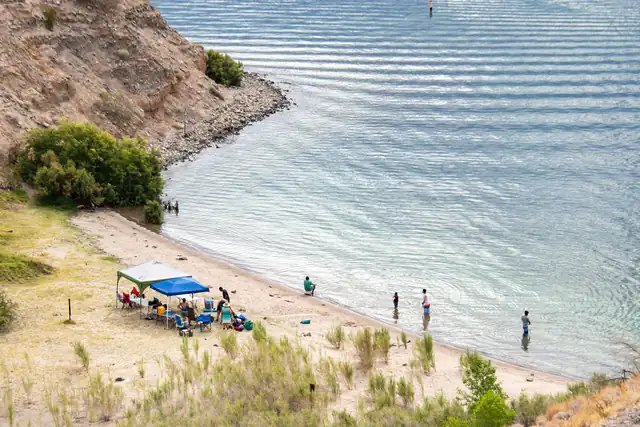
Swimming
1,100+ beaches and swim areas on 339 lakes
-
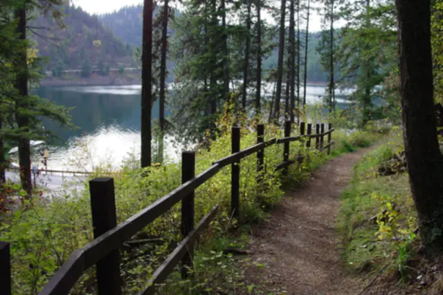
Hiking
2,600+ trails along the shore on 558 lakes
-
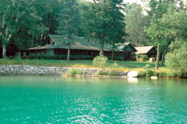
Cabins & resorts
4,000+ cabins, resorts and lodges on 508 lakes
Lake levels across the U.S.
All lakes by state →- Under 45°F
- 45–55°F
- 55–65°F
- 65–75°F
- 75–85°F
- 85°F and up
- No recent reading
Surface water temperature: the lake's own sensor (last 3 days) or a satellite pass on a clear day (last 16 days), on 507 lakes.
- Above full pool
- At or near full
- Slightly below
- Below full
- Well below
- Live level, no full-pool reference
Lowest lakes right now Largest lakes Deepest lakes Warmest water now Clearest lakes Highest lakes Lakes by fish Fishing licenses by state Compare two lakes
Rising this week
| Lake | Level (ft) | vs full | 7 days |
|---|---|---|---|
| Wynoochee Lake Well below full | 767.08 | −32.92 | +21.59 |
| Lake Shannon Live reading | 425.68 | — | +13.98 |
| Bull Run Reservoir No 1 Live reading | 994.69 | — | +8.83 |
| Black Canyon Reservoir Below full | 2486.09 | −11.91 | +6.78 |
| Barker Reservoir Live reading | 75.72 | — | +5.98 |
| Spada Lake Live reading | 1407.35 | — | +5.75 |
Dropping this week
| Lake | Level (ft) | vs full | 7 days |
|---|---|---|---|
| Detroit Lake Well below full | 1461.52 | −101.98 | −15.82 |
| Lookout Point Lake Well below full | 779.15 | −146.85 | −10.95 |
| Blue River Lake Well below full | 1176.60 | −173.40 | −10.48 |
| Green Peter Reservoir Well below full | 812.95 | −197.05 | −10.35 |
| J. Edward Roush Lake Below full | 737.22 | −11.78 | −8.53 |
| Pinewood Reservoir Well below full | 6560.67 | −19.33 | −8.06 |
Lakes near you
All 281 cities →Every lake page has
- Today’s level, in contextFeet from full pool, percent full where the operator publishes it, and the normal for the date from decades of daily records.
- Up to a year of historyDaily levels for up to the past 12 months, so you can see whether the lake is filling or drawing down.
- Weather on the waterThe National Weather Service forecast, wind for boating, the barometer for anglers and the best day of the week to go out.
- Sun, moon & fishing timesSunrise, sunset, moon phase and the solunar major and minor periods, in the lake’s own time zone.
- A real map of the lakeStreets or satellite, with boat ramps, marinas, rentals, campgrounds, beaches, fishing piers, trails and waterfront restaurants.
- Fish & fishingThe fish in the lake, when they spawn, what the state stocks, guides and bait shops, and the license you need.
- Algae & iceSatellite cyanobacteria readings from the EPA, and when the ice usually goes out on northern lakes.
- The dam behind itWhen it was built, how tall it is, who runs it and what it is for, from the National Inventory of Dams.
- The original gaugeA link to the agency gauge behind every number — we never estimate a level.
States with the most lakes
Questions
Where do the lake levels come from?
From the agencies that operate the gauges and dams: the U.S. Geological Survey, NOAA (its National Water Prediction Service, and Tides & Currents for the Great Lakes), the U.S. Army Corps of Engineers, the Tennessee Valley Authority, the Bureau of Reclamation, the Texas Water Development Board, California’s Department of Water Resources, New Hampshire’s dam bureau and utilities such as the Salt River Project. We check every source each hour and link to the original gauge on every lake page.
What does “feet below full pool” mean?
Reservoirs are run to a target level — full pool, or the top of the conservation pool. “3 ft below full pool” means the water surface is 3 feet lower than that mark. Natural lakes have no full pool, so for them we compare with the past year and with the normal level for the date.
Why does a lake show no full-pool comparison?
Full pool is published by the dam operator, not by the gauge. We add it for every Texas reservoir, the big California reservoirs and the best-known lakes elsewhere, and we keep adding more. Without it, you still get today’s level, the trend and the one-year chart.
Where do the boat ramps, marinas and campgrounds come from?
From OpenStreetMap and Overture Maps, open map data built by volunteers and companies, and from the U.S. Army Corps of Engineers where it publishes ramp levels. We keep only places on or near each lake’s shoreline. Listings can be out of date: call ahead before you go.
Is Lake by Lake free?
Yes. No sign-up, no app to install. Every lake page works on your phone at the boat ramp.