Top 15
Best swimming lakes in New York
Lake George, Lake Champlain and Canandaigua Lake lead our list of the best lakes for swimming in New York. It ranks all 15 that qualify by their beaches and swim areas, how clear the water is, and the parks and campgrounds beside them. Every lake links to its swimming page, with the water temperature, the latest algae readings and any advisory in effect.
-
Lake George
Essex County 319.0 ft today
- 20 beaches and swim areas
- Very clear water (you can see about 25 ft down)
- 10 parks on the shore
- 14 campgrounds
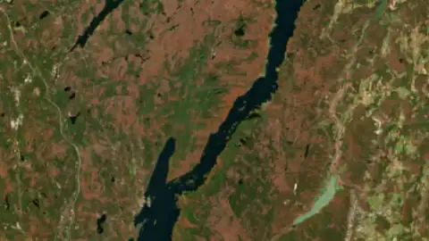
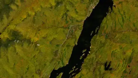
Lake George is a long, narrow natural lake at the southeastern foot of the Adirondack Mountains in New York, running north from Lake George Village to Ticonderoga.
-
Lake Champlain
On the Vermont line 93.7 ft today
- 54 beaches and swim areas
- Clear water (you can see about 13 ft down)
- 20+ parks on the shore
- 56 campgrounds
An official algae advisory is in effect on this lake: check before you swim.
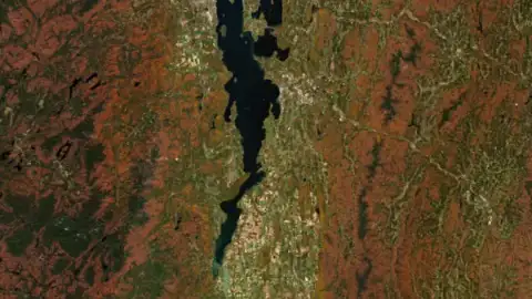
Lake Champlain runs north for almost 120 miles from Whitehall, New York, to its outlet at the Richelieu River in Quebec, and for much of that length it forms the border between Vermont and New York.
-
Canandaigua Lake
Ontario County 687.1 ft today
- 6 beaches and swim areas
- Very clear water (you can see about 17 ft down)
- 5 parks on the shore
- 1 campground
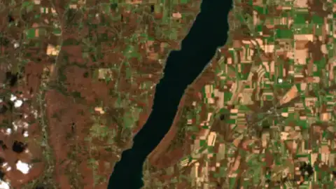
5 miles south from the city of Canandaigua toward the village of Naples. It lies in Ontario and Yates counties. The name comes from a Seneca word usually given as the chosen spot. Today the lake is the city's drinking water and a summer home for many Rochester families.
-
Oneida Lake
Onondaga County 369.2 ft today
- 7 beaches and swim areas
- 10 parks on the shore
- 10 campgrounds
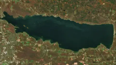
Oneida Lake lies just northeast of Syracuse, bordered by Oneida, Madison, Onondaga and Oswego counties, and it is the largest lake entirely within New York.
-
Cayuga Lake
Cayuga County 382.3 ft today
- 4 beaches and swim areas
- Clear water (you can see about 8.5 ft down)
- 15 parks on the shore
- 6 campgrounds
Cayuga Lake is the longest of the Finger Lakes, a narrow glacial trough in central New York that runs from Ithaca at its south end north to the marshes near Seneca Falls. Its shores fall in Tompkins, Seneca and Cayuga counties.
-
Chautauqua Lake
Chautauqua County 1,306.9 ft today
- 4 beaches and swim areas
- Fairly clear water (you can see about 4.6 ft down)
- 10 parks on the shore
- 11 campgrounds
An official algae advisory is in effect on this lake: check before you swim.
Chautauqua Lake lies in southwestern New York, with Mayville, the Chautauqua County seat, at its north end and Jamestown at its south end. It is the largest inland lake in western New York.
-
Keuka Lake
Yates County 713.1 ft today
- 2 beaches and swim areas
- Very clear water (you can see about 23 ft down)
- 7 parks on the shore
- 4 campgrounds
Keuka Lake is the Finger Lake shaped like a Y, lying across Yates and Steuben counties in central New York. Penn Yan sits at its northeast tip, Branchport at the northwest tip and Hammondsport at the south end, and the slopes above the water carry the oldest vineyards in the Finger Lakes.
-
Great Sacandaga Lake
Saratoga County 755.1 ft today
- 5 beaches and swim areas
- 4 parks on the shore
- 11 campgrounds
An official algae advisory is in effect on this lake: check before you swim.
Great Sacandaga Lake is the reservoir on the Sacandaga River at the southern edge of the Adirondack Park, spread across Fulton and Saratoga counties with a small reach into Hamilton County. Its broad south end lies northeast of Johnstown and Gloversville.
-
Seneca Lake
Seneca County 443.9 ft today
- 1 beach or swim area
- Clear water (you can see about 11 ft down)
- 18 parks on the shore
- 14 campgrounds
Seneca Lake is the largest of New York's Finger Lakes by volume, a long, deep trough of cold water running north from Watkins Glen to Geneva through Schuyler, Yates, Seneca and Ontario counties. It holds roughly half of all the water in the Finger Lakes.
-
Saratoga Lake
Saratoga County 201.2 ft today
- 2 beaches and swim areas
- Clear water (you can see about 11 ft down)
- 3 parks on the shore
- 1 campground
-
Owasco Lake
Cayuga County 711.5 ft today
- 2 beaches and swim areas
- Clear water (you can see about 12 ft down)
- 2 parks on the shore
- 1 campground
-
Conesus Lake
Livingston County 816.7 ft today
- 1 beach or swim area
- Clear water (you can see about 9.4 ft down)
- 2 parks on the shore
- 3 campgrounds
-
Indian Lake
Hamilton County 9.2 ft below full today
- 3 beaches and swim areas
- 1 park on the shore
- 3 campgrounds
-
East Sidney Lake
Delaware County 0.8 ft above full today
- 1 beach or swim area
- 1 park on the shore
- 2 campgrounds
How this list is made
Lakes are ranked by the number of beaches and designated swim areas on their shore, the clarity of the water in summer (Secchi depth measured by state agencies and volunteers, where there are readings), the parks and campgrounds beside them and how much people look them up. A lake needs at least one beach or swim area to be listed. Nothing here is paid for.
The order comes from our data, not from anyone's opinion or payment, and it changes as the data does. A lake we have little data for can rank lower than it deserves: tell us through the contact form if something is missing.
What is the best lake for swimming in New York?
By what our data shows, Lake George comes first, with 20 beaches and swim areas and water you can see about 25.2 feet into. Lake Champlain and Canandaigua Lake follow.
Which lake in this list has the clearest water?
Lake George: in summer a white disk lowered into the water stays visible to about 25.2 feet (the median of the readings of state agencies and volunteer monitors).
Is it safe to swim in a lake?
Usually, with care. Swim at marked beaches, never alone, and wear a life jacket away from shore: lake water is murky, drops off quickly and is colder below the surface. Stay out of water with a green scum or paint-like streaks (a blue-green algae bloom) and of posted advisories; each lake page shows the latest algae reading and official advisories. In spring, when the air is warm and the water is still cold, cold water shock is the main danger.
How is this list made?
Lakes are ranked by the number of beaches and designated swim areas on their shore, the clarity of the water in summer (Secchi depth measured by state agencies and volunteers, where there are readings), the parks and campgrounds beside them and how much people look them up. A lake needs at least one beach or swim area to be listed. Nothing here is paid for.